March 3rd, 2012.
Oyster frames in a river as it approaches a seawall and water gate.
To get from Budai to Dongshih, the next major town and harbor in Chiayi, I decided to take the elevated highway 61. Maybe this was a bit of a cheat. But I had done so much pure coastal tracing that I thought it was worth it to get some higher elevation photos. I wasn't disappointed.
The coastal zone is quite complicated: barrier islands, outer lagoons between the islands and the true shore, bounded by massive seawalls and water gates like the one above. Between these and properly dry land lie inland lagoons ranging from well-drained areas to fields covered in stagnant water.
Signs of progress
Land or sea?
Fishing off a bridge
Fish trap
Young mangroves: a future forest?
A seawall arches towards my destination.
But how to get there?
I am on a bridge that passes over it.
Today's destination: Dongshih
To get to the seawall: off the highway, and then a shortcut.
The bridge from which I took the two pictures before the one above.
A nice clear walk to Dongshih.
A boat shows tourists the mudflats.
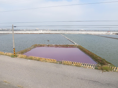
This is way too purple to be healthy.
Getting into Donshih, a sleepy little town with a few good restaurants.


No comments:
Post a Comment